HYPACK to Release Real Time Point Cloud


-
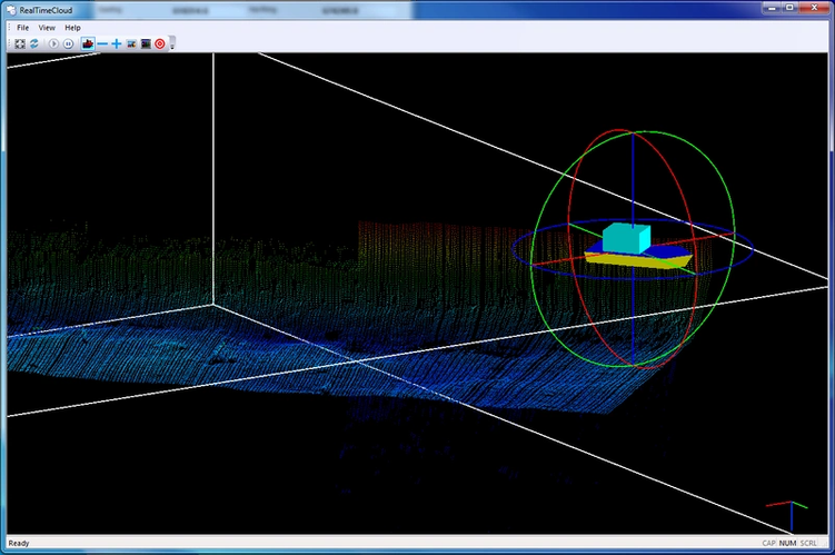 Image: HYPACK
-
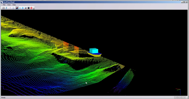 Image: HYPACK
-
 Image: HYPACK

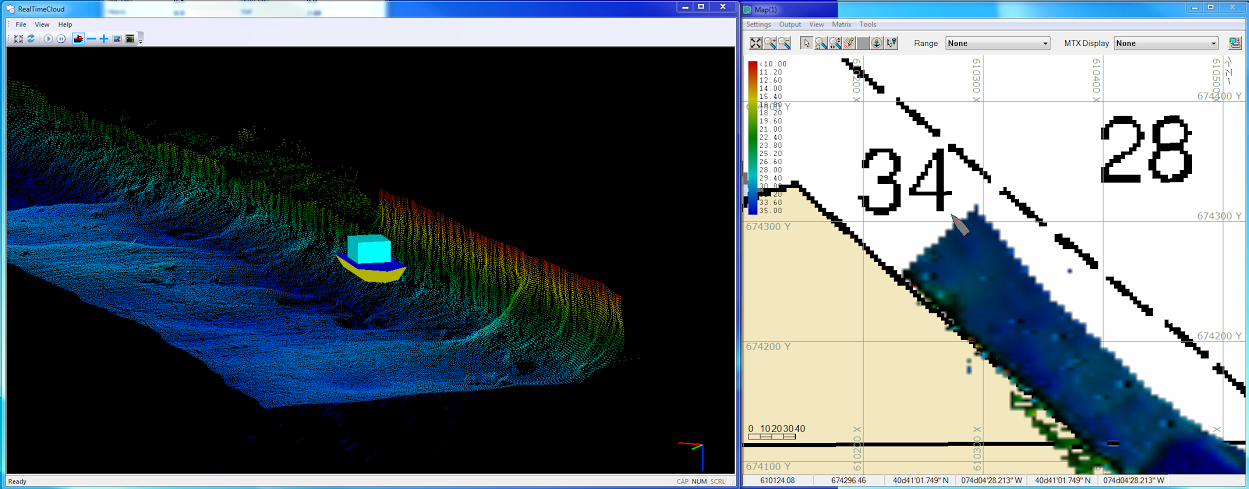
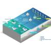
Hydrographic surveying software company HYPACK, Inc. announced the release of its new REAL TIME POINT CLOUD, an upgrade to the HYPACK2014 release. The new program runs in conjunction with HYSWEEP SURVEY and displays both multibeam and topographic laser data in a corrected and geo-referenced color-coded point cloud. According to HYPACK , the REAL TIME POINT CLOUD program will be useful for easier feature detection and categorization, system calibration and verification, and data quality control. This program enhances the multibeam and topographic laser collection capabilities of HYSWEEP.
HYPACK lists key features, including:
- Displays geo-referenced multibeam sonar and, if available, topographic laser data in a common point cloud.
- Provides for real time QC on overlapping swaths.
- The program keeps track of the last 3,000,000 data points and displays them in a cloud.
- Depending on ping rates and swath sizes, it can display over an hour of multibeam data on-the-fly.
- Allows capture and export of geo-referenced images to BMPs.
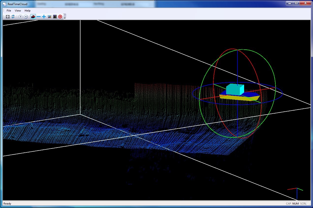
- Includes 3-axis rotations and zoom in-out real time tools
- Uses a separate core processor, so the efficiency of HYSWEEP SURVEY is not affected.
- Runs in both 32-bit and 64-bit computers to accommodate everyone.
The program will be available for download as of June 1, 2014. The upgrade to the HYPACK 2014 release is provided free of charge to all HYPACK/HYSWEEP users.
hypack.com