Discover the Hidden Landscape of the Baltic Sea
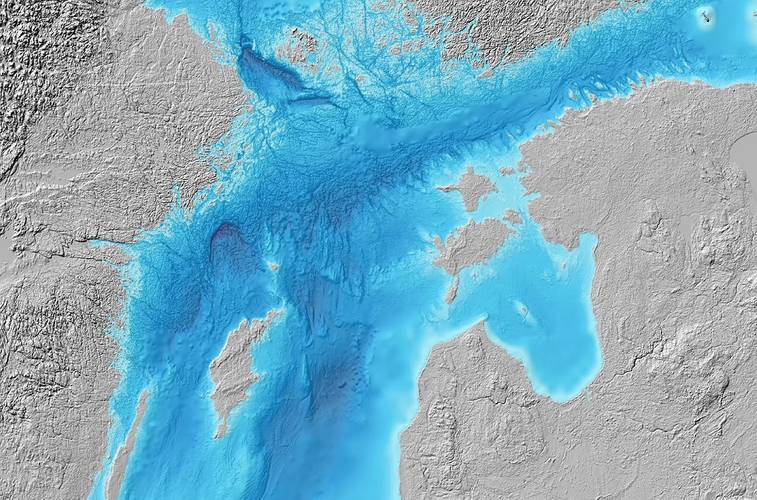
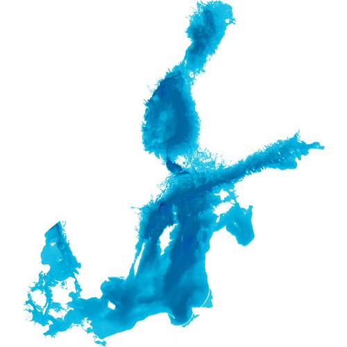
The Baltic Sea Bathymetry Database (BSBD) gathers, visualizes and distributes data about the water depth — bathymetry — for the areas of all Baltic Sea countries.
Bathymetric data of sufficiently high quality is a requirement for many administrative and research related tasks. The Baltic Sea Bathymetry Database offers complete, homogeneous and up-to-date Baltic Sea bathymetry data from official sources, i.e. , all Baltic Sea national hydrographic offices under the umbrella of the Baltic Sea Hydrographic Commission.
The BSBD web site is developed to meet the requirements of maritime and environmental planning as well as scientific research. There are several fields of application where bathymetry data is needed — climate modeling, geological research, wind craft planning and habitat mapping, etc. The compiled bathymetry model has a resolution of 500m, featuring more than ten times as many data points as the currently available homogenous models and more data is regularly being added to the model.
Measuring bathymetry is mostly a national duty for each country, primarily because the production of nautical charts lies within each state’s responsibility. Many applications span over country borders, hence requiring a level of detail in bathymetric data which cannot be supplied by conventional nautical charts.
The Baltic Sea Bathymetry Database is developed as part of the EU TEN-T project MONALISA (Motorways & Electronic Navigation by Intelligence at Sea) with the Swedish Maritime Administration as lead partner. The development has also received funding from the Swedish Government
data.bshc.pro







 December 2024
